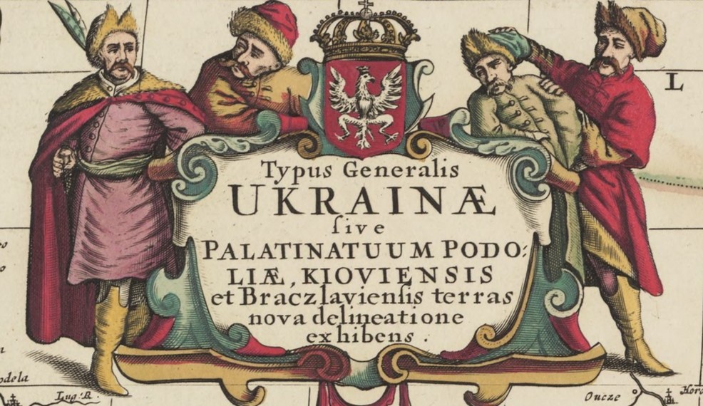
Dutch cartographers and publishers played vital parts in the production and dissemination of the earliest maps of Ukraine. In 1648, the Dutch printer Willem Hondius, who worked in Gdańsk, published the so-called “general map” of Ukraine. This map was designed by the Frenchman Guillaume le Vasseur de Beauplan, who worked for the Polish court. At that time, it was the most detailed map of Ukrainian lands ever produced, showing 1293 distinct objects, such as settlements, rivers, forests and marshes across various Ukrainian territories both inside and outside the Polish-Lithuanian Commonwealth. While Le Vasseur de Beauplan visited many of these regions himself, not all of the elements on the map were based on first-hand observation. Still, the map corrected several false notions about Ukraine, for example concerning its span, or the flow of the Dniepr river.
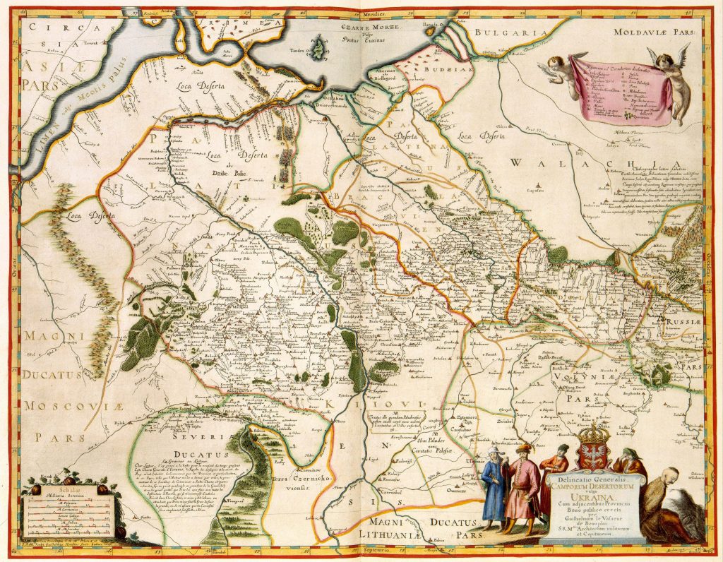
Moreover, Le Vasseur de Beauplan produced a so-called “special map” of Ukraine, which was once again published by Willem Hondius in Gdańsk. This map is even more detailed than the “general” one. It was commissioned by the Polish king Władysław IV Waza in 1645, who planned to use the map during a war he meant to wage against the Turks. However, as these plans did not come to fruition and Władysław himself died in 1648, the “special” map wasn’t printed until 1650.
Both maps were reproduced multiple times by seventeenth-century Dutch printers, such as Joan Blaeu and Joannes Janssonius, who used them in the atlases they published in Amsterdam. According to cartography experts, the maps of Le Vasseur de Beauplan and Hondius thus revolutionized the image of South-Eastern Europe, contributed to the propagation of the name “Ukraine”, corrected numerous older errors, and added significantly to knowledge about both Ukrainian territories and the Polish-Lithuanian Commonwealth as a whole.
*I originally wrote this post for the social media outlets of the Dutch Embassy in Poland. This was post no. 32.

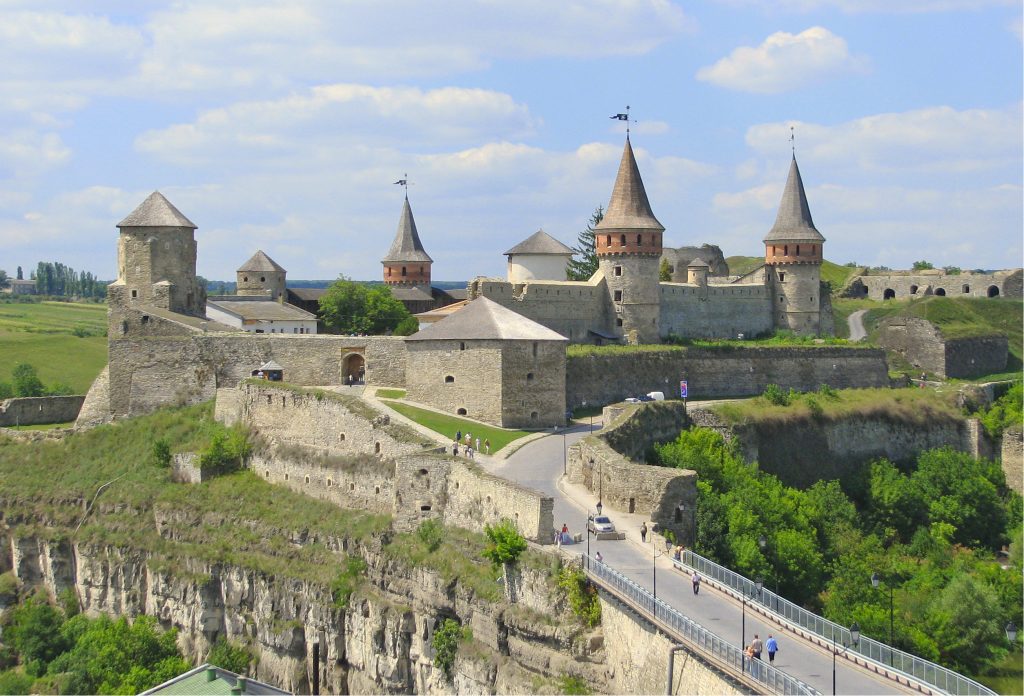
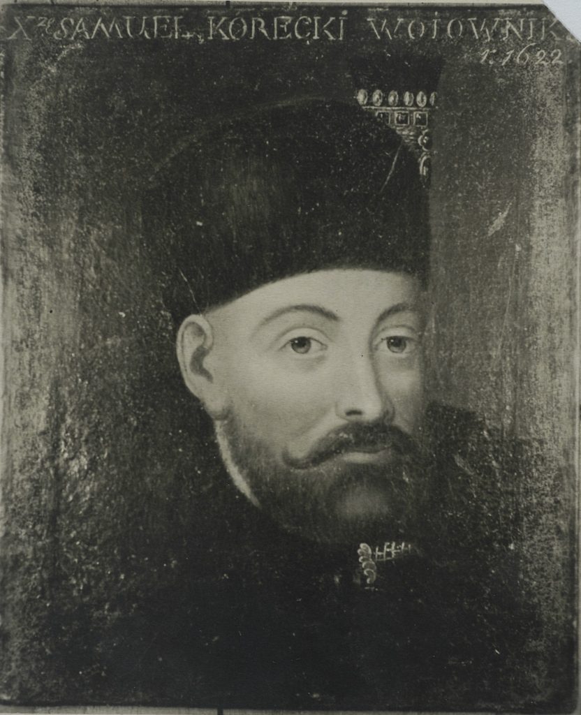 In July 1606, a young student called Samuel Korecki inscribed his name into the album amicorum (“book of friends”) of the Dutch scholar and mayor of Harderwijk, Ernst Brinck. Korecki’s name features amongst numerous well-known men of the time, such as Galileo Galilei. But who was he?